
Fort Mill ZIP Code Directory Coverage
Four postal codes are relevant to Fort Mill research, but they do not play the same role. The County address service returns 29708 and 29715 for physical addresses whose municipality is Fort Mill. The Town uses 29716 for its post-office box, while 29707 belongs in the postal-history and adjacent-geography conversation. The Fort Mill ZIP code directory therefore keeps delivery service, physical parcel geography, and Town limits as separate facts.
| ZIP | Areas Covered | Post Office | Notes |
|---|---|---|---|
| 29715 | Core Fort Mill delivery area, plus some unincorporated addresses | Fort Mill Post Office, 201 Tom Hall St. | Town street address uses 29715; it is not coextensive with the Town |
| 29708 | Physical addresses in Fort Mill, Tega Cay, and unincorporated York County | Fort Mill postal community | Exact address and municipality are necessary |
| 29716 | Fort Mill Town mailing and post-office-box use | Fort Mill routing | Not verified as a physical incorporated-Town parcel ZIP |
| 29707 | Adjacent Fort Mill postal geography and delivery-history context | Fort Mill postal identity | Do not call it a current incorporated-Town parcel ZIP without an address check |
The USPS ZIP Code Lookup is the first check for a precise delivery address.
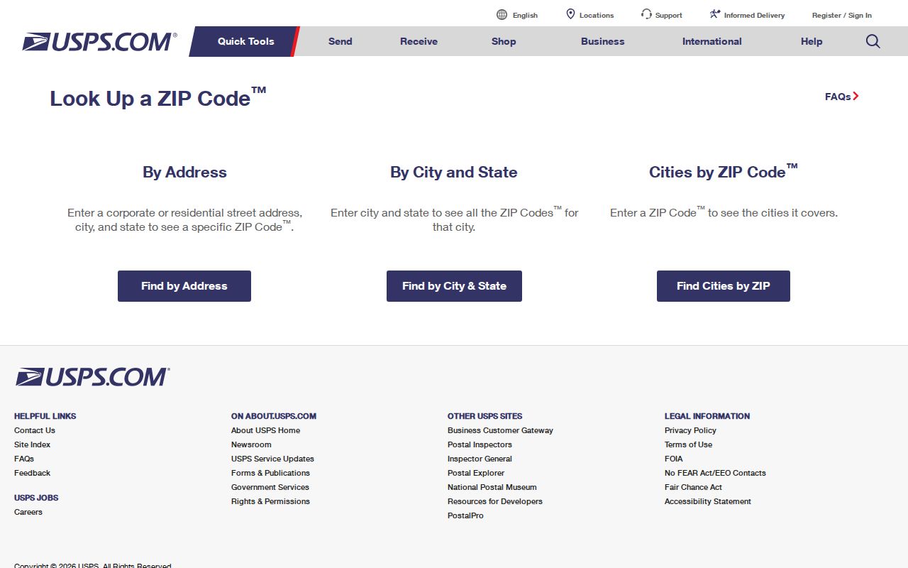
USPS confirms the delivery code for an address, but it does not decide whether that address is inside Fort Mill’s incorporated limits.
Fort Mill 29708 Boundary Check
ZIP 29708 is the local boundary quirk worth remembering. County address-service results place some 29708 addresses in the Municipality value FORT MILL, while other 29708 entries are Tega Cay or UNINCORPORATED. A Fort Mill postal community label does not settle municipal jurisdiction. An address may need Town services, County services, or another municipality’s information even when the postal city reads Fort Mill.
Use the County’s address data for the physical address and municipality, then use the Fort Mill GIS Hub or One Map for a Town-limit check. This sequence keeps a ZIP-only search from mislabeling a record. It also prevents the tax mailing ZIP from being substituted for the parcel’s physical location.
The York County address-service metadata documents separate ZIP Code, Municipality, ZIP Community, and legacy-street fields.
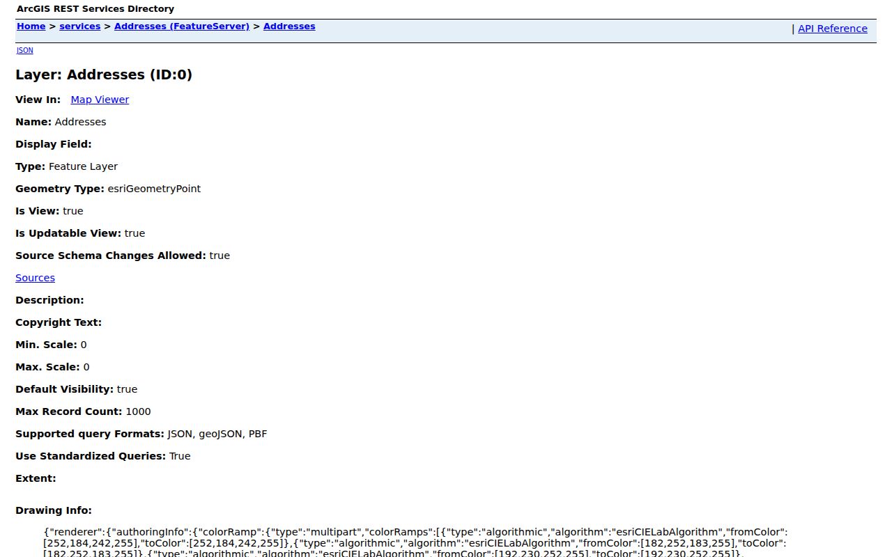
Those separate fields explain why a Fort Mill postal label and a Town jurisdiction answer can differ for the same general area.
Fort Mill 2007 Postal Shift
Older Fort Mill postal references require another layer of care. USPS announced that a new 29707 delivery area would take effect July 1, 2007, moving 4,464 deliveries formerly assigned to 29715. The announcement is a delivery-area change, not proof that every current or historic 29707 address lies inside the Town. Use the USPS Postal Bulletin as historical postal context, then verify the specific modern address.
This is a useful records story for deeds, notices, or family material with a Fort Mill mailing line. Compare the address itself, its Municipality field, and the recorded legal description before drawing a geographic conclusion. A ZIP can change while the parcel history follows a different path.
Postal history is especially easy to overread when an older document gives only a town and ZIP. The 2007 change explains why the same broad Fort Mill identity can appear beside a different five-digit code in material from two periods. The reliable comparison is not the town line on an envelope. It is the complete address, the date of the document, the County address data, and, when property is involved, the lot or legal description carried through the deed and plat trail.
Fort Mill ZIP Code Verification
The County’s address service supports a postal-code field, but the public One Map description does not promise a ZIP-wide owner or person search. The practical ZIP code directory workflow is address first, parcel second. USPS verifies mail delivery. One Map and the Town Hub establish map context. Property Card then gives an individual parcel route by address or tax map ID. That is more accurate than attempting to turn a ZIP into a list of people.
| Field | Type | Use and Limit |
|---|---|---|
| Full House / Whole Address | Text | Normalized starting point for the exact site location |
| ZIP Code / ZIP 4 | Postal attributes | Delivery information, not a Town-boundary decision |
| Municipality | Text | Incorporated or unincorporated context |
| ZIP Community | Text | Postal-place identity that can differ from Municipality |
| Legacy Street Name | Text | Lead for an older label; confirm it with a plat or record |
| Subdivision, Phase, Section, Lot | Text | Bridge from address to legal description and recorded documents |
- Run the complete address through USPS ZIP Lookup and retain the delivery result.
- Check the same address in York County One Map or the Town GIS Hub for municipality and Town-limit context.
- Use Property Card Search by address or tax map ID when parcel information is needed.
- Keep situs and mailing ZIP fields distinct before using a deed, plat, or recorded legal description.
- Move to the Fort Mill street directory only when the research has narrowed to a particular street or address chain.
Note: A ZIP can narrow an address check, but York County does not publish a ZIP-wide resident, owner, occupant, or voter list through these public tools.
There is also no ZIP filter documented for the MySCVotes public self-service form. That form is designed for a voter’s own registration check and requires County, name, date of birth, and the last four digits of the Social Security number. The State’s regulated list-sales channel is different from self-service and has its own access rule. Neither channel makes a ZIP-wide public people search available. This distinction is important when a delivery code seems like a tempting shortcut.
Fort Mill ZIP Code Parcel Fields
York County Property Card Search advertises address, tax map ID, and owner-name modes. Its parcel information can include the physical property address, legal description, latest deed or plat reference, sale information, and assessment fields. The assessor parcel service also has a MailZip field. That field belongs to the tax-mailing address and is not the physical ZIP for the parcel.
For an ownership question, enter the physical address or tax map ID, then compare the legal description and latest deed reference with the Register of Deeds. An owner or tax-mail recipient is not automatically an occupant. The same distinction protects a Fort Mill ZIP code directory from making claims the public tax roll cannot support.
Older address work needs the same restraint. The County address service includes Legacy Street Name fields as well as subdivision, phase, section, and lot fields. A populated legacy field is a lead when an older source and modern street label do not match. It still needs confirmation from the relevant subdivision details and recorded plat or legal description. A modern ZIP, mailing city, or map pin cannot safely substitute for that comparison.
The Property Card Search landing page identifies the County’s supported lookup paths.
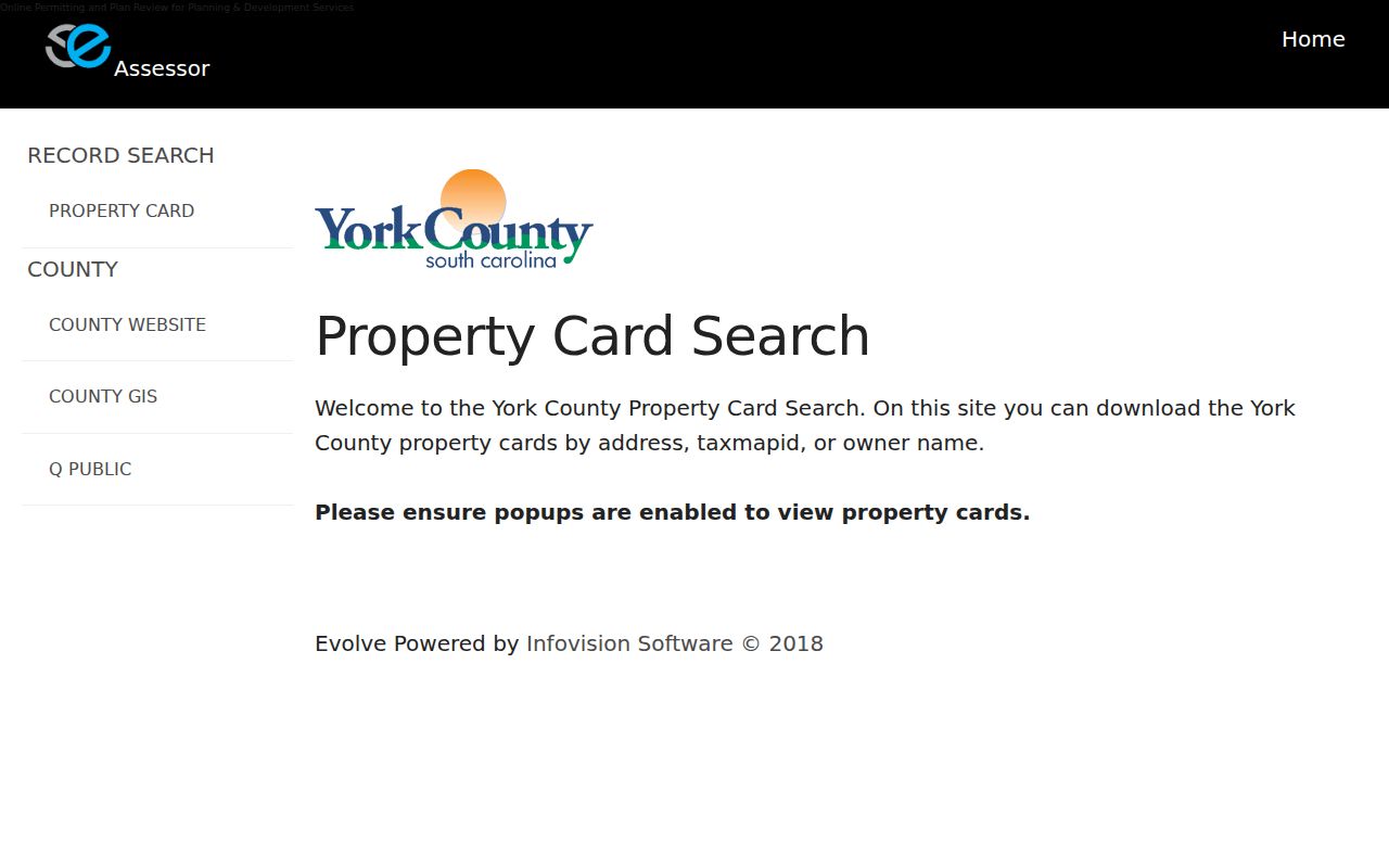
The property-card route links a known address to a tax map ID and deed reference, not to a complete household list.
Fort Mill ZIP Code Map Context
The Town’s GIS Hub, announced in September 2025, adds a useful local context layer. Its maps address Town limits, zoning, wards, future land use, council representation, road responsibility, and water-provider information. Those layers can explain why nearby addresses use different offices or services. They do not identify people or establish an owner or occupant.
The Town GIS Hub announcement links to the official mapping resource.
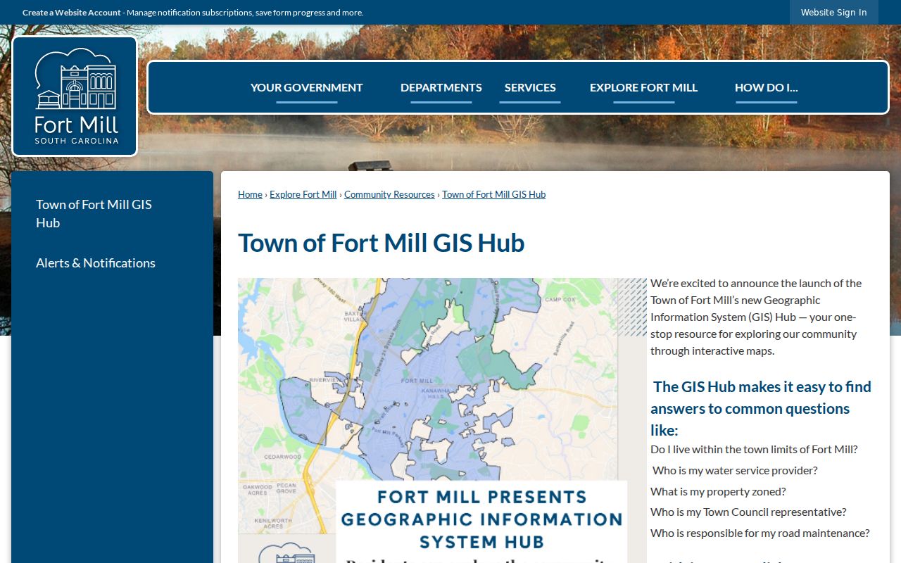
Use the Hub after USPS, not in place of it, when the question is whether a Fort Mill mailing address is inside the Town.
Fort Mill ZIP Code Corrections
If a County map, parcel, or address result looks wrong, report the discrepancy to the custodian instead of trying to solve it from a ZIP label. York County GIS links a parcel and address error-report path and asks for a location-specific inquiry. Addressing questions can be directed to 803-902-2970. For legal boundaries, compare the map result with a recorded plat or legal description.
Include the complete address, the tax map ID when known, and a plain description of the field that appears wrong. That gives the reviewer a specific map or address issue to check rather than an unsupported ZIP-boundary claim.
The York County GIS page provides the One Map, data, and correction route.
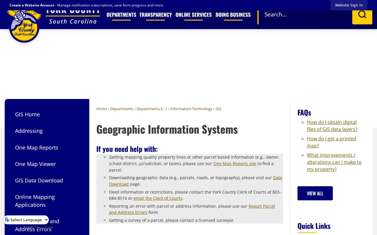
The GIS office provides a practical correction channel when an address attribute or parcel display needs custodian review.
Fort Mill ZIP Code Limits
ZIP codes, ZIP+4 codes, carrier routes, and post-office boxes describe postal handling. A ZIP+4 narrows delivery, a post-office-box ZIP serves mail at boxes, and a carrier route organizes delivery. None defines a legal Town line or creates a public roster. The research did not identify a unique Fort Mill institution ZIP, so none is asserted here.
- ZIP versus ZIP+4
- The five-digit delivery area and its more specific delivery add-on.
- PO-box ZIP
- A code used for post-office-box mail, which can differ from a physical street address.
- Carrier route
- A postal delivery grouping, not a municipal district or record boundary.
- Legacy street field
- A County address-data clue that should be confirmed with subdivision, plat, or legal-description evidence.
Use the right boundary. A Fort Mill postal address can be outside the Town, and a map or tax mailing field does not prove a person’s current location. Keep record research lawful and respectful of protected information.