
Fort Mill Neighbors Block Sources
The immediate block around a Fort Mill address is best understood from a few different public sources. One Map supplies the spatial starting point. The property card and parcel data can describe an individual parcel. The Register of Deeds supplies recorded ownership transactions and plats. Town mapping adds jurisdiction and service context. None of those sources is a list of every neighbor or household member, so each source should be used only for the question it can answer.
| Source | What It Shows About a Block | Access |
|---|---|---|
| York County One Map | Mapped parcels, address context, tax map IDs, and selected parcel reports | Map search and one-parcel-at-a-time selection |
| Property Card Search | Owner, mailing fields, situs address, legal description, and deed references | Address, tax map ID, or owner-name modes |
| Register of Deeds | Recorded parties, deed and plat links, book/page, and legal description | Online index plus counter and book research |
| Fort Mill GIS Hub | Town limits, wards, zoning, roads, water provider, and neighborhood context | Official map context, not a people directory |
| Community organizations | Public-facing association information when a group chooses to publish it | Voluntary contact or member-controlled access only |
Owners and occupants are not interchangeable. A tax roll can identify an owner or the recipient of a tax notice. It cannot prove who currently lives in a parcel, and a map can only show where the parcel lies. Keep that distinction in place throughout a Fort Mill neighbors search.
The York County address-service record shows why the exact address matters: it separates house number, unit, ZIP, municipality, postal community, legacy street, subdivision, and lot data.
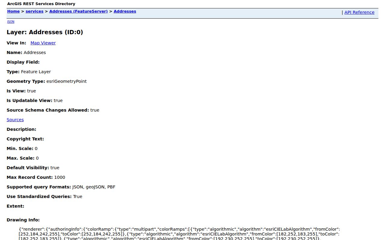
Address-service fields help identify a selected location, but they are spatial data and not a list of neighbors or residents.
Fort Mill Adjacent Parcel Process
York County documented a workable adjacent-parcel method, but not a public buffer, radius, or select-by-distance button. Search an address or tax map ID in One Map, select the mapped parcel, then pan and zoom to adjoining polygons. Click each adjacent parcel separately. Carry each tax map ID into Property Card Search or the deed index. The method is deliberate because nearby parcels can have different owners, subdivision details, and recorded histories.
- Enter the known street address or tax map ID in One Map and select the returned parcel.
- Pan to the adjoining polygons and select one parcel at a time, recording each displayed tax map ID.
- Open each individual Property Card and distinguish situs address, owner field, and tax-mailing field.
- Use the latest deed or plat book/page to inspect the matching Register of Deeds record.
- Compare legal description, lot, block, phase, and plat references before deciding two lots are the intended neighbors.
For the full record chain along a named street, the Fort Mill street directory handles the broader address workflow. The Fort Mill neighbors process stays focused on the immediate adjoining parcels.
Note: Inspecting each parcel separately preserves the County’s map-based method and avoids treating an address map as a bulk household directory.
Fort Mill Neighbor Parcel Meaning
A Property Card can display owner names, a situs address, tax mailing information, legal description, tax map ID, assessment facts, latest deed or plat references, and prior-grantor data. The County parcel-service schema also identifies neighborhood and geometry fields. These are parcel and assessment facts. A mailing address can be elsewhere, and the owner field does not prove a current resident or every member of a household.
Use the latest deed book and page to move from the assessment record to a recorded instrument. The deed record can show grantor and grantee roles, document date, type, instrument number, and legal description. A plat and legal description are the stronger route for confirming lot boundaries because One Map’s drawn lines are approximate, not a legal survey.
| Official parcel or record trail | Commercial neighbor tools |
|---|---|
| Shows County or recorded-document information tied to a selected parcel and its custodian. | May combine claims from different sources and can be stale or conflate same-name people. |
| Lets a reader compare tax map ID, legal description, deed, and plat. | Does not replace the official custodian when a record needs confirmation. |
| Has defined access limits and correction channels. | Does not authorize contact or disclose protected information. |
The comparison is practical: public parcel records can support a property question, while a compiled listing must never replace the County office that holds the underlying record.
A careful Fort Mill neighbors check also records time. The Property Card is a current assessment path, while a deed describes a recorded transaction on its document date. York’s online deed and plat access begins January 1, 1979, and the Register of Deeds counter, books, and networked public computers are the documented fallback for earlier material. An apparent change in owner can reflect a conveyance, trust, estate, or parcel change. Compare the legal description at every step instead of assigning a history from one name field.
Fort Mill Neighbors Map Context
The Town GIS Hub provides the local context that parcel ownership data does not. Its official maps include Town limits, zoning, wards, future land use, council representation, road responsibility, water-provider information, and neighborhood layers. A Fort Mill mailing address may sit outside the incorporated Town, so the jurisdiction check belongs before a local permit, zoning, or Town-service assumption.
The Fort Mill GIS Hub announcement describes the maps and links to the resource.
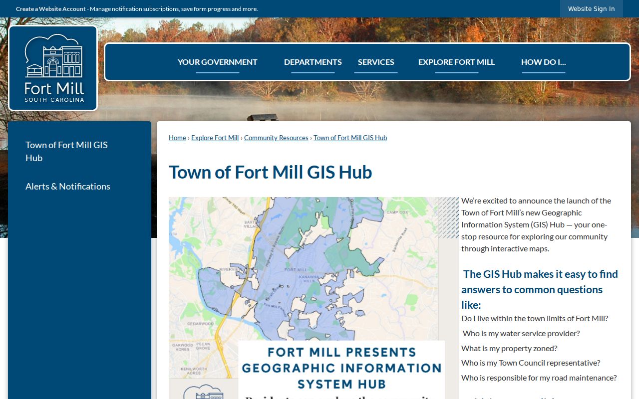
The Hub adds place and service context around a block, but it is not an ownership or household roster.
Fort Mill Neighbors Community Resources
Fort Mill has community resources, not a verified Town-wide neighborhood-directory system. The Fort Mill History Museum and its John & Mary Sanders Research Library offer local-history and collection context, while the Town’s Boards and Commissions page identifies public civic bodies. Neither proves that a person lives at a particular address. They can help with history, a public meeting, or a neighborhood question when the request fits the source.
| Resource | Verified public route and boundary |
|---|---|
| Waterstone | Its official site describes a Fort Mill community and says its Resident area needs a free account. Do not bypass member controls or treat it as a Town-wide directory. |
| Ashford on the Water | Its site says the neighborhood directory is provided after board verification of submitted contact information. It is a controlled community resource. |
| Fort Mill History Museum | The Museum provides Fort Mill topic research and collection context, but says it does not conduct family genealogical research. |
| Town Boards and Commissions | Public civic and meeting information, not an address-based resident source. |
Public association pages often publish an office, rules, notices, or a controlled account path. They should not be read as a membership roster or used to reconstruct one.
For historical block context, York County Library Local History and the Historical Center of York County hold countywide material such as newspapers, maps, city directories, and land-related sources. A historical address listing or map can help date a place, but it remains dated evidence. Pair it with a contemporaneous deed, probate file, directory, or original record before using it to draw a household conclusion. Fort Mill’s local resources are useful for research context precisely because they are not an open current-neighbor directory.
Fort Mill Neighbors Voter Boundaries
South Carolina’s individual voter service is not a block browser. The MySCVotes form requires County, full first and last names, date of birth, and the last four digits of the Social Security number. It has no street, ZIP, household, or precinct browsing function. A person can check their own registration, and the York County election office handles local registration and address questions.
The State’s regulated list-sales channel is distinct from self-service and is limited to registered South Carolina voters. It offers selected filters under the Election Commission’s rules, but it is not a public Fort Mill neighbors roster. Protected voters and Address Confidentiality Program participants have safeguards. Participation history does not disclose how anyone voted.
Fort Mill Neighbors Map Corrections
When an adjacent parcel line, address, or map label looks wrong, the next step is custodian review. Compare the displayed map to the legal description and recorded plat, then use York County’s correction route for the parcel or address attribute. The County GIS office lists One Map, address assistance, and the report form. It is better to identify the exact parcel and field in question than to make an assumption from a zoomed map line.
The York County GIS page links the County’s One Map and parcel/address error route.
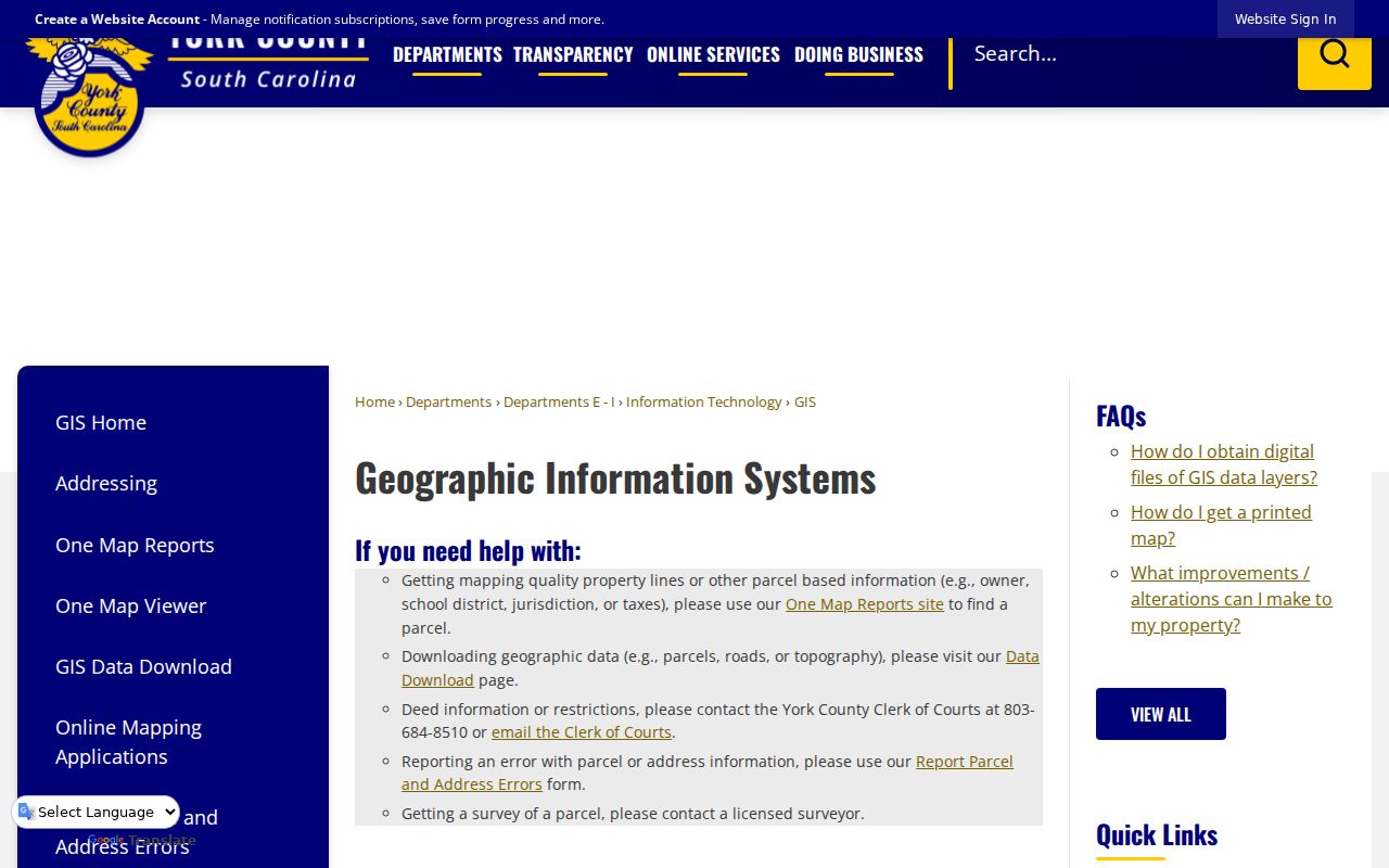
The County office is the appropriate channel for a map-data correction, while a Register of Deeds plat supplies the legal-record comparison.
Fort Mill Neighbors Privacy Limits
Fort Mill neighbors research stops at the public parcel and recorded-document trail. Non-owner occupants, utility accounts, delivery information, protected addresses, sealed files, and voluntary association memberships are not an invitation to infer or gather more. The Address Confidentiality Program protects qualifying participant addresses, and protected voter and court information may be limited. A public owner or tax-mailing field is not a license to contact a person.
South Carolina also bars knowingly obtaining or using personal information from public bodies for commercial solicitation under S.C. Code § 30-2-50. If an official York online image exposes a covered sensitive identifier, use the Clerk of Court or Register of Deeds redaction route under § 30-2-330 rather than republishing the information.
Lawful use. Use Fort Mill neighbor records for personal, civic, family-history, property, or safety questions. Never use public information to surveil, stalk, harass, intimidate, or expose another person.