
Fort Mill Previous Residents Sources
A Fort Mill backward address trace uses different sources for different eras. Current parcel services identify the land and its latest recorded references. The deed index carries a recorded-party trail after its web cutoff. Historical household material can then test whether a person was associated with that address in a particular period. No one row proves the full story, and none of these sources is a current household roster.
| Source | Years It Covers | Where Held | What It Shows |
|---|---|---|---|
| Property Card and One Map | Current, with no historical start date published | York County online services | Current tax-roll and parcel context, Tax Map ID, legal description, and latest deed or plat references |
| ROD deed and plat web index | Deeds and plats from 1/1/1979; mortgages from 7/1/1982 | York County Land Record Search | Recorded parties, document dates and types, book/page or instrument trail |
| Older recorded material | Before the stated web cutoff | ROD counter, historical books, and networked public computers at 6 S. Congress St., York | Continuation of a deed or plat inquiry; exact book availability must be asked |
| Probate estate records | 1975-current | York County Probate Court and online estate search | Decedent, case number, and public estate filings where available |
| Paid tax information | 2000+; earlier material on microfilm | Tax Collection and York courthouse Records Management | Tax payment history, not an occupant directory |
| Historic aerial imagery | 1970-present | York County One Map and County Open Data | Visible house, road, and parcel changes, not resident identity |
| Federal census | Released through 1950 under the 72-year practice | National Archives and census resources | Historic household enumeration subject to address and boundary matching |
Begin with a Fort Mill parcel when the street address is known. Begin with a dated household source when the address is uncertain but a name and approximate period are known. In either direction, preserve the source date and the exact address form before joining the records. Fort Mill's postal geography and parcels can change, so a close-looking name or number is not enough.
Start With Fort Mill Parcel Fields
Use the York County Property Card Search or One Map to establish a Fort Mill land identity before searching the deed index. The Property Card landing page supports address, tax map ID, and owner-name card downloads, and it says popups must be enabled. Copy the situs address, Tax Map ID, legal description, subdivision, lot or block when present, latest deed book and page, latest plat book and page, sale date, prior grantor field, and current owner fields.
Keep the property address separate from the tax mailing fields. A mail address can identify where a tax notice is sent. It does not prove that the recipient lived at the Fort Mill property. The durable link is the legal description and its lot, block, subdivision, plat, or deed reference. For a broader current address workflow, see the Fort Mill street directory; this page uses only the fields needed to move backward in time.
Fort Mill Deed Chain Steps
The Fort Mill and York County deed chain works from the present buyer backward. Bring the property-card book and page to the York County Land Record Search, identify the parties and legal description in the latest transfer, then find the seller's earlier acquisition. At each link, compare the tax map ID, legal description, subdivision, lot, block, and plat reference. A reused street number, a parcel split, or one owner with several parcels can otherwise produce the wrong chain.
- Capture the current parcel fields and latest deed or plat reference from Property Card or One Map.
- Use the Book-Page/File # route. Choose the appropriate Record Book, Deeds, or Plats option, then enter the recorded book and page. Use the Inst # field when an instrument number is supplied instead.
- Read the document date and type, indexed grantor and grantee, instrument number, and legal description before treating it as the same property.
- Search the current buyer as a Grantee for the earlier acquisition, or use the Grantor field with the option to search records where the party is either Grantor or Grantee. Narrow the dates and select deed categories.
- Repeat the buyer-to-earlier-deed relationship. Once the web index ends, ask the Register of Deeds for the specific book or plat reference instead of guessing at a digitized range.
| Book-Page/File # | Route for a recorded book and page; its options include Record Book, Specials, Deeds, Tax Liens Index, Miscellaneous, Mortgages, and Plats. |
|---|---|
| Grantee and Grantor | Party-name paths. The form includes a choice to search records where a party is either Grantor or Grantee. |
| Start Date and End Date | Optional fields in mm/dd/yyyy format for narrowing a result set. |
| Property Description | Fields for Subdivision, Lot, Block, Section, Map, Phase, Unit, and Property Description. |
- Grantor / grantee
- The grantor conveys an interest in property; the grantee receives it. In a prior purchase, a later seller can appear as the earlier grantee.
- Chain of title
- The ordered recorded-transfer path for one parcel, checked link by link rather than assumed from names alone.
- Legal description
- The recorded land description, often using a lot, block, subdivision, plat, or metes-and-bounds reference. It is more stable than a street number.
- Criss-cross directory
- An address-first directory format. No Fort Mill criss-cross run was verified in this research.
- Enumeration district
- A census geographic unit that can help locate the correct historic schedule once an address area and census year are known.
Fort Mill's 1979 Search Boundary
York County's verified web boundary is January 1, 1979 for deeds and all plats, and July 1, 1982 for mortgages. That is a web-access boundary, not the beginning of the county's underlying land history. The online date filter also needs care: the index reports that pre-1997 dates may appear year-only as 00/00/YYYY because earlier entries were recorded that way. A narrow day-and-month filter can miss a valid older index entry.
The Land Record Search presents the grantor-grantee, book/page, date, property-description, Daily Notebook, and Recording Alert routes.
When Fort Mill deed research reaches the web boundary, continue at the Register of Deeds rather than ending the chain. The ROD is at 6 South Congress Street in York, telephone 803-684-8510. Its normal office hours are 8 a.m. to 5 p.m., but its record room closes at 4:45 p.m., so confirm access before a research trip.
The Register of Deeds page also documents the free name-based Recording Alert.

The alert sends a notice after a document is recorded. It is not title insurance or a way to prevent a recording. Enter names without punctuation and create separate alerts for variants when monitoring a particular name.
Fort Mill Lots Before Addresses
Street numbers alone become fragile in older records. Before carrying a Fort Mill address backward, compare the legal description, subdivision, lot, block, phase, and plat. The ROD property-description route has separate fields for those components, and the County address service maintains Legacy Street Name, Legacy Street Type, and Legacy Suf Dir fields. A populated legacy field is a clue to investigate, not proof that two labels describe the same parcel.
Use a recorded Fort Mill plat and deed to test continuity. Parcel splits, recombinations, condominium units, and shifted numbering can break an address-only search. County mapping is useful for orientation, but the County says its drawn parcel lines are approximate rather than a legal survey. For a mismatch, consult the plat or legal description and use York County GIS's parcel and address error route when the county record itself needs review.
Fort Mill Estate and Tax Trails
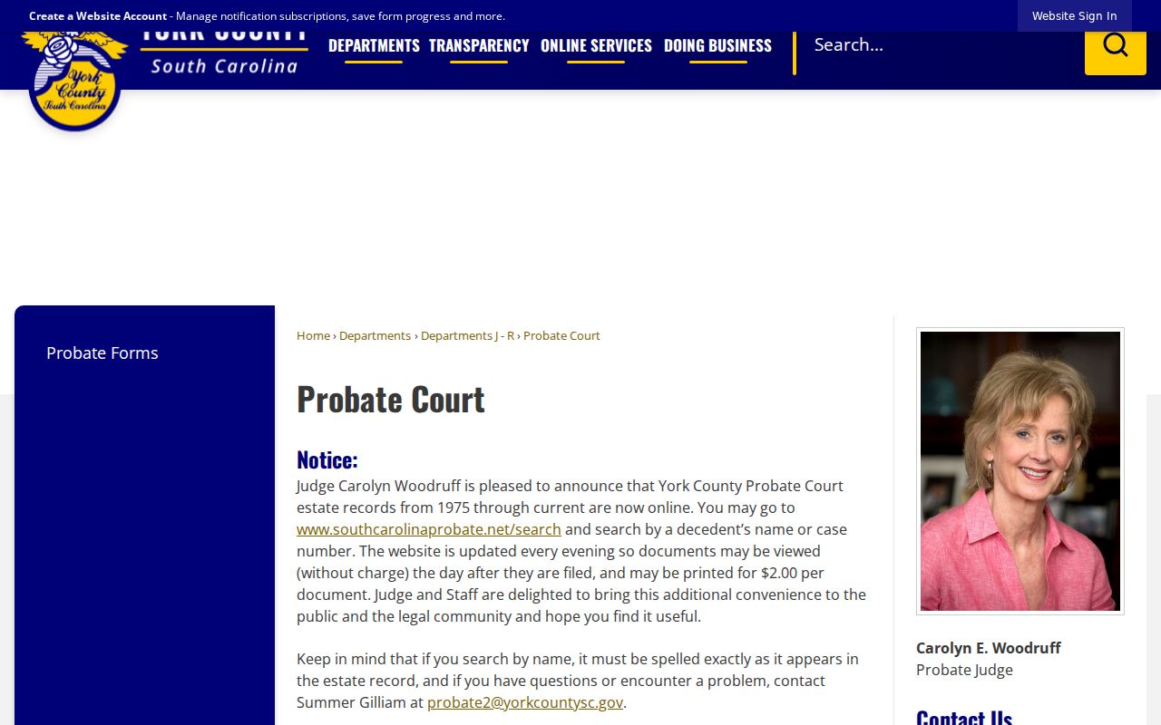
When a Fort Mill recorded owner has died, York County Probate can extend the research from a deed party to an estate file. Its online estate search covers 1975-current, updates every evening, and supports searches by name or case number. Public documents can be viewed without charge, while printed copies cost $2. Estate material can identify a decedent, case number, heirs, or administration papers where public. It does not identify everyone who lived at the address.
The York County Probate Court page gives the current access and counter details.
Fort Mill tax history is a separate check. York County makes paid tax information from 2000 forward available through Tax Collection; older paid-tax material is on microfilm at Records Management in York. It can help date a property trail, but it is not evidence of a full household.
Fort Mill Previous Resident Households
Deeds identify a transaction path, not every past household. To test who lived at a Fort Mill address, use a dated directory, newspaper, census, cemetery, obituary, or probate lead after the parcel is established. The documented Hill's 1962 volume includes an address-ordered householders section, but research did not verify a Fort Mill criss-cross directory run or a complete city-directory year sequence. Do not fill that gap by assuming ownership meant residence.
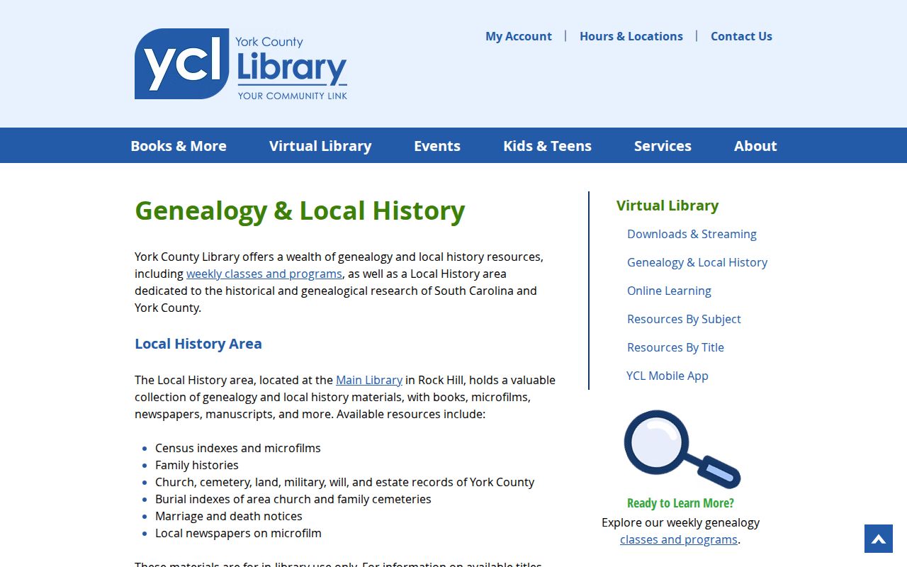
The York County Library Local History Area provides in-library census material, newspapers on microfilm, cemetery and burial indexes, manuscripts, and county historical sources.
For the shelf-level collection details, use the Fort Mill city directory guide. It keeps the confirmed collection dates, holding gaps, and access conditions in one place instead of repeating them here.
The Historical Center of York County is another public-by-request research route for city directories, maps, cemetery rosters, surname files, and historical court, probate, and land-related material.
Ask for an exact collection, box, reel, or title when contacting the Center. A compiled genealogy or index is a lead, so corroborate it with a contemporary record before treating a name match as identity proof.
Fort Mill Census and Bulletin Leads
Pair a verified address or directory year with the nearest released census, then test the street, district, and household composition rather than relying on a surname alone. The 1950 census is the latest released decennial census as of 2026 under the 72-year release practice. Earlier Fort Mill-area material can be indexed under York District or York County, especially before Fort Mill's 1873 incorporation.
The digitized Springs Bulletin collection covers 1943-1983 and can add a dated name or place lead.
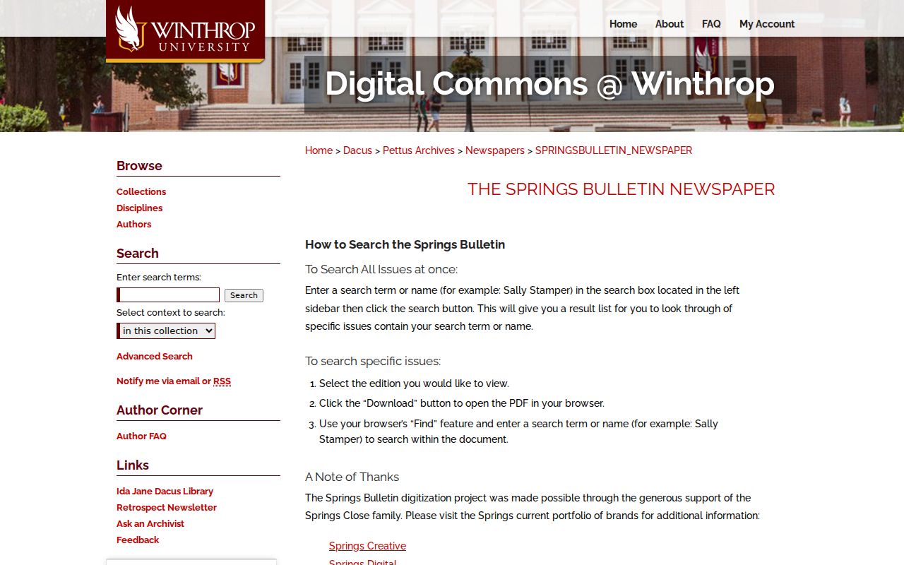
Search the collection, open the result issue, download the PDF, and use Find to check the full context. A Fort Mill bulletin mention should be corroborated with a directory, census, deed, probate file, or contemporary newspaper before it is used as a household conclusion.
Fort Mill Aerial and Permit Dates
Fort Mill-area aerial imagery from 1970 to the present can help narrow when a building, road, or parcel change becomes visible. It cannot identify the people who lived there. Pair an imagery date with a recorded deed, plat, property card, or defined permit request. The Town's Building & Codes forms use details such as lot number, address, permit number, inspection type, contractor, contact name, and telephone; inspection results are not given by phone.
For a defined Town permit or code record, use the Fort Mill FOIA route and state the address, lot or Tax Map ID, record type, and date range. For a defined county-held record that is not already public, York County's online FOIA portal is the written-request fallback. Assessor questions can go to 803-684-8526, GIS or jurisdiction questions to 803-902-2970, and Probate access questions to 803-684-8513.
Lawful use. Fort Mill address history is for personal, family-history, estate, civic, property-curiosity, and anti-scam questions. Do not use public records to track, harass, or harm a living person.